

Reality Capture
Our own Swiss crew on site with terrestrial laser scanners and drones. Georeferenced, full coverage, and planned around the daily routine of an occupied building.
- Terrestrial LiDAR
- Drone survey
- CH1903+ / LV95
- Occupied buildings
Swiss Scan-to-BIM · Capture and model, one team
Digital building surveys, point clouds, and BIM models for design, renovation, and building documentation. Scancrew captures existing buildings using advanced 3D laser scanning technology and transforms the collected data into structured, design-ready BIM models.
Scan to BIM
Most existing buildings are documented by a plan set that stopped being true years ago. Walls moved, openings closed, services were rerouted — and each change left a note in a file rather than a correction on a drawing. In renovation and refurbishment work, that gap between the drawing and the building is where design errors, site rework and unbudgeted cost come from.
Scan to BIM closes it by measurement. We capture the building with 3D laser scanning, register the scans into a single point cloud, and model that cloud into a structured BIM model — so the geometry your project plans against is the geometry that is actually there.
The result is not a one-off deliverable. A checked model of the existing building carries forward: design today, coordination next quarter, area statements and facility data for as long as the building stands.
Ideal applications
The Pipeline
Capture, processing, modelling and quality control run inside one team. Brief us once and we hand back a model your project can build on — or start mid-chain and send us your existing point cloud.
Our own Swiss crew on site with terrestrial laser scanners and drones. Georeferenced, full coverage, and planned around the daily routine of an occupied building.
Scans are registered and validated, noise is cleaned, and the coordinate system is fixed. What leaves this stage is a dataset you can measure against.
Architectural and structural elements are modelled in Revit or Archicad, aligned directly to the point cloud, to the agreed LOD — not traced from exports.
Three reviews before release: the modeller verifies geometry against the scan, a Senior BIM Modeller runs the technical review, and the Team Lead performs final validation.
The native model plus IFC for openBIM workflows, optional 2D drawings, and review snapshots with documentation.
What we do
Each service stands on its own and hands a finished, checked deliverable to the next. Nothing has to be re-measured between them.
Who it's for
01 / 05
You need as-built plans that match the building before renovation design starts — not drawings from 1987 with pencilled corrections. We deliver geometry you can plan against.
02 / 05
You need a model that imports clean: correct element classification, sensible structure, nothing to rebuild. Our QA chain exists so your cleanup stage doesn't.
03 / 05
You capture, we model — or the reverse. Send point clouds in E57, RCP or RCS and get back structured models at stated tolerance, under your project's coordinate frame.
04 / 05
You need reliable existing conditions before pricing and sequencing work in an existing structure. ±20 mm as-builts take the guesswork out of the tender.
05 / 05
A building you own should be documented as it stands: a durable digital record for renovation, leasing and facility management — independent of any single project.
Accuracy & Standards
DATASHEET / SC-STD-01
±20 MM
Deliverables
.RVT
Revit model
.PLN / .PLA
Archicad model
.IFC
openBIM exchange
.PDF / .DWG
2D drawings
.E57 / .RCP / .RCS
Point cloud
Review snapshots & documentation
Case Studies
Sample projects, shown to make scope and deliverables concrete. The first client references are in production and will replace these entries with real figures.
CASE-01
SAMPLE
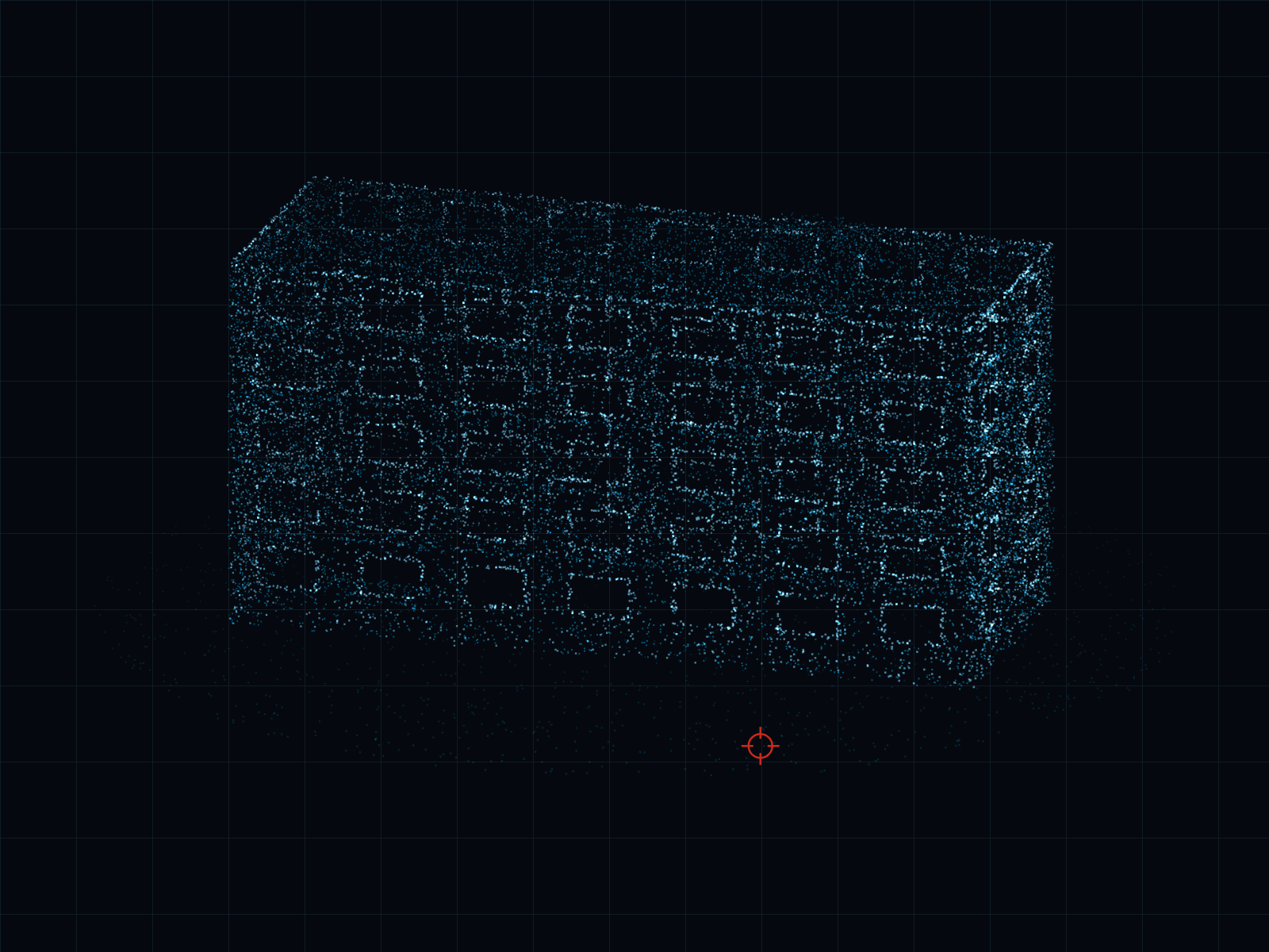
Full scan of an occupied five-storey block ahead of an energy retrofit — captured section by section around residents, delivered as a Revit model the planners could section immediately.
CASE-02
SAMPLE
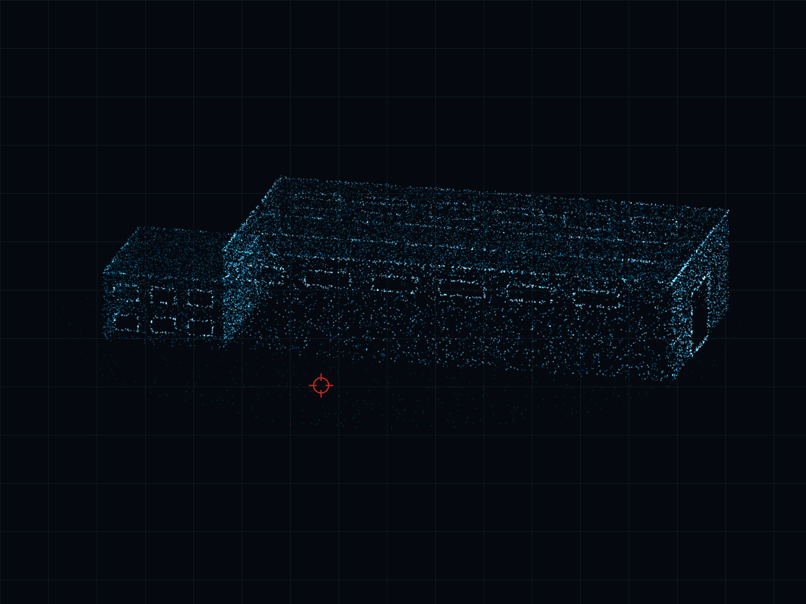
Drone and terrestrial capture of a running logistics site — hall, office annex and yard in one coordinate frame, modelled at LOD 200 for a mezzanine feasibility study.
CASE-03
SAMPLE
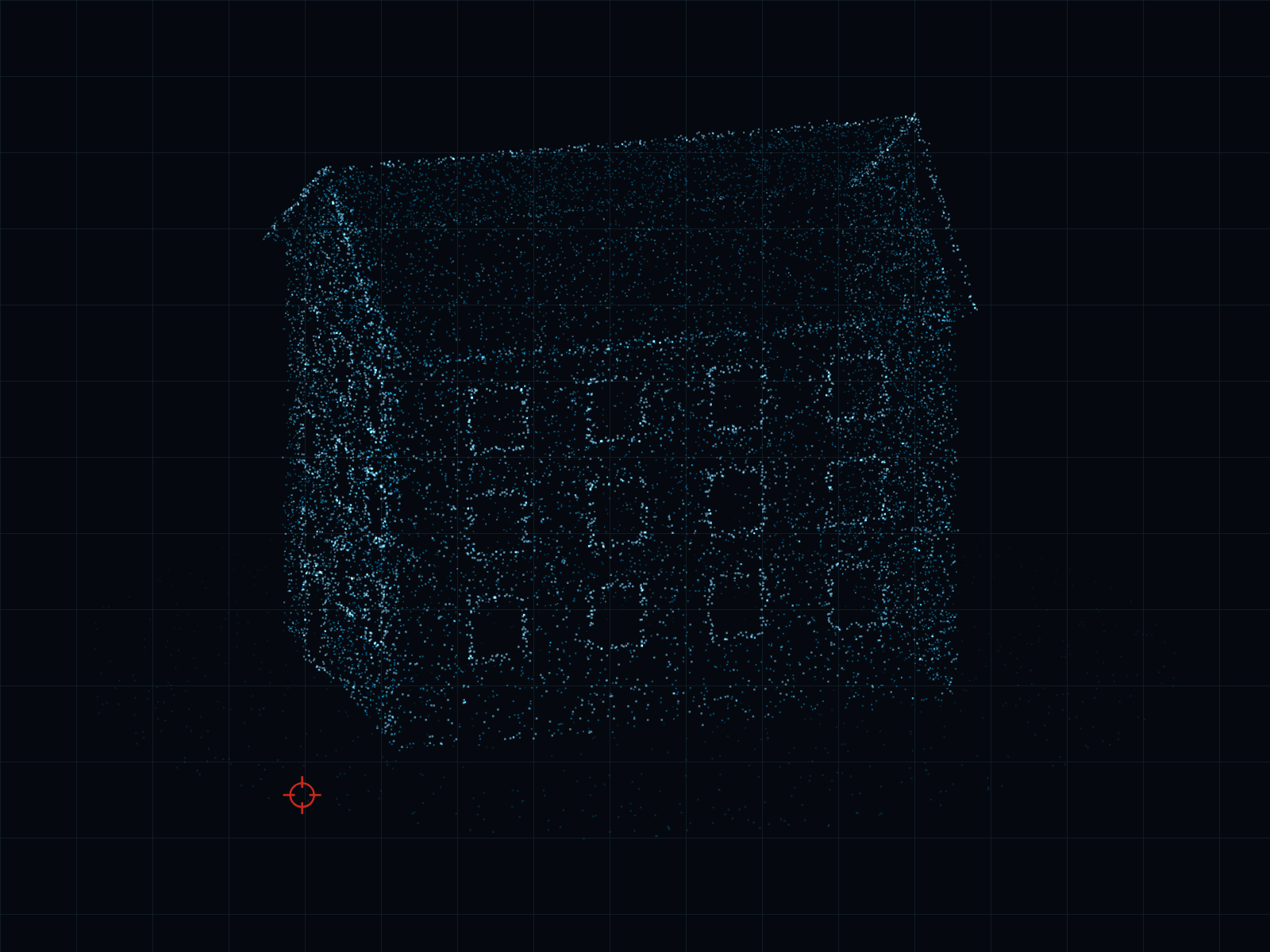
High-detail survey of a protected townhouse with no usable drawings on record — pitched roof, uneven storeys and all, delivered at LOD 350 with 2D plans for the heritage authority.
FAQ
Standard tolerance is ±20 mm between model geometry and the point cloud. Tighter tolerances are possible for specific elements and are priced per project. Accuracy is verified during QA against the scan data — it is not an assumed figure.
Next step
Area, target LOD and a rough timeline are enough for a scoped quote with rates, deliverables and dates.